Approach and Navigation
Location
The Ullapool Harbour Limit is shown on Chart 2500 as a straight line joining the following points:
Cailleach Head (57 deg 56’ N, 5 deg 24’W).
The S extremity of Meall nan Caorach, 2 miles NE of Cailleach Head
The mouth of Garbh Allt, 3.75 miles ENE of Meall nan Caorach
Navigation
General Directions For Navigation In Ullapool Harbour
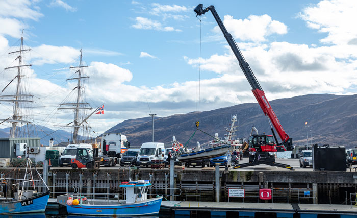
Ullapool’s harbour is one of the best natural deepwater harbours in the country. There are no hidden charges. For cruise liners, all rates include pontoon access, cruise reception, marquee, local meet and greet personnel and a pipers’ welcome.
HARBOUR PLAN AND TECHNICAL DETAILS
| Location: | 57° 53.70’N 05° 09.20’W |
| No. Of Berths: | 3 |
| Berth Details: | Berth 2 Max L.O.A. 100m Depth 3.5 |
| Berth 3 Max L.O.A. 80m Depth 3.5 | |
| Berth 4 Max L.O.A. 110m Depth 7.2 | |
| Width of Ship: | No restriction |
| Air Draft: | No restriction |
| Anchorage: | Yes |
| Anchorage Position: | 57° 53.35’ N 005° 09.30’ W |
| Distance to Landing Stage: | 0.1 NM |
| Pilotage: | No |
| Town Centre: | 200m |
| Shuttle to Town: | Unnecessary |
| Nearest Airport: | Inverness (104km) |